________________
OCTOBER, 1884.]
PTOLEMY'S GEOG. BK. VII, CH. 1, $$ 1-3.
$25
remarks are indeed in great measure applicable to the mode of proceeding of the Alexandrian Geographer in many other cases also, though the result is particularly conspicuous in India from the fulness of the information-crude and undigested as it was-which he had managed to bring to. gether. The result, as presented to us in the tables of Ptolemy, is a map of utter confusion, out of which it is very difficult to extract in a few instances any definite conclusions. The attempt of Lassen to identify the various places mentioned by Ptolemy, is based throughout upon the fundamental error of supposing that the geographer possessed a Map of India similar to our own, and that we have only to compare the ancient and modern names in order to connect the two. As Col. Yule justly observes : “ Practically, he (Lassen) deals with Ptolemy's compilation as if that Geographer had possessed a collection of real Indian surveys, with the data systematically co-ordinated. The fact is, that if we should take one of the rude maps of India that appeared in the 16th century (e.g. in Mercator or in Lindschoten), draw lines of latitude and longitude, and then more Ptolemaico construct tables registering the coordinates of cities, sources and confluences as they appeared in that map, this would be the sort of material we have to deal with in Ptolemy's India." But, in fact, the case is much stronger than Col. Yule puts it. For such a map as he refers to, of the 16th century, however rude, would give a generally correct idea of the form and configuration of the Indian Peninsula. But this, as we have seen, was utterly misconceived by Ptolemy. Hence he had to fit his data, derived from various sources, such as maritime and land itineraries, based upon real experience, into a framework to which they were wholly unsuited, and this could only be effected by some Procrustean process, or rather by a repetition of such processes, concerning which we are left wholly in the dark.
Col. Yule's map of Ancient India is undoubtedly by far the best that has yet been produced : it is indeed the only attempt to interpret Ptolemy's data, upon which such a map must mainly be founded upon anything like sound critical principles. But it must be confessed that the result is far from encouraging. So small a proportion of Ptolemy's names can find a place at all, and so many of those even that appear on the map are admitted by its author to rest upon very dubious authority; that we remain almost woolly in the dark as to the greater part of his voluminous catalogues ; and are equally unable to identify the localities which he meant to designate, and to pronounce an opinion upon the real value of his materials."
Book VII.
Contents. Description of the furthest parts of Greater Asia, according to the existing provinces and Satrapies.
CAP. I. Description of India within the Ganges.
§ 1. Indin within the river Ganges is bounded on the west by the Paropanisadai and Arakhôsia and Gedrôsia along their eastern sides already indicated; on the north by Mount Imaös along the Sogdiaioi and the Sakai lying above it; on the east by the river Ganges; and on the south and again on the west by a portion of the Indian Ocean. The circuit of the coast of this ocean is thus described :
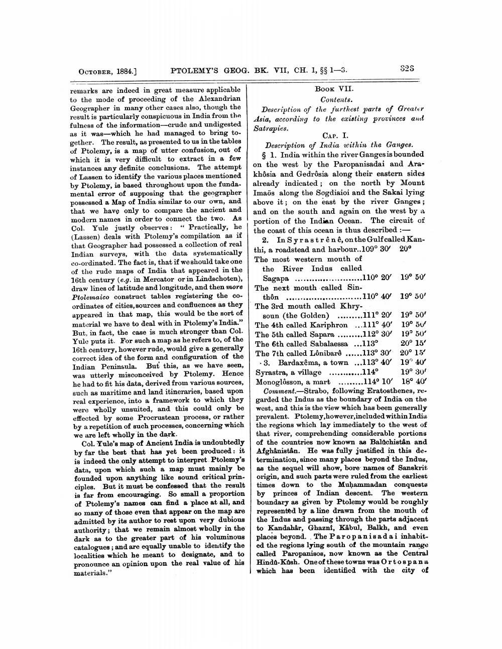
2. In Syrastrênê, on the Gulf called Kanthi, a roadstead and harbour.. 109° 30 20° The most western mouth of the River Indas called
Sagapa ............. ..........110° 20 19° 50 The next mouth called Sin
thôn ...........................110° 40 19° 50% The 3rd mouth called Khry.
soun (the Golden) .........111° 20' 19° 50' The 4th called Kariphron ... 111° 40' 19o 50 The 5th called Sapara .........112° 30' 19° 50' The 6th called Sabalaessa ...113° 20° 15' The 7th called Lônibarê ......113° 30° 20° 15
3. Bardaxêma, a town ...113° 40 19° 40° Syrastra, a village ............114° 19° 30' Monoglôsson, a mart .........114° 10' 18° 40%
Comment.--Strabo, following Eratosthenes, regarded the Indus as the boundary of India on the west, and this is the view which has been generally prevalent. Ptolemy, however, included within India the regions which lay immediately to the west of that river, comprehending considerable portions of the countries now known as Balochistan and Afghanistan. He was fully justified in this de. termination, since many places beyond the Indus, as the sequel will show, bore names of Sanskrit origin, and such parts were ruled from the earliest times down to the Muhammadan conquests by princes of Indian descent. The western boundary as given by Ptolemy would be roughly represented by a line drawn from the mouth of the Indus and passing through the parts adjacent to Kandahar, Ghaznf, Kabul, Balkh, and even places beyond.. The Paropanisada i inhabited the regions lying south of the mountain range called Paropanisos, now known as the Central Hindd-Kosh. One of these towns was Ortospanu which has been identified with the city of


