________________
Chapter 05
Geological Studies
Geography
Fig. 10: Figures 10 to 13 shows the physical and satellite photos of Himalayas. Himalayas form the NW-SE arcuate mountain system. To the north is Higher Tibetan Plateau with average 12000 to 15000' height. Tibetan region is known as the cold desert and the cold wind blowing from Tibet is well restrained by the lofty ranges of Himalayan Mountains entering the Indian landmass. The weather conditions are well controlled with Himalayan mountain range as barrier between Tibet and India.
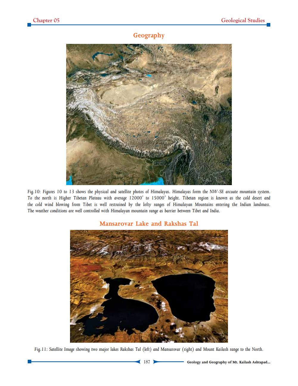
Mansarovar Lake and Rakshas Tal
Fig.11: Satellite Image showing two major lakes Rakshas Tal (left) and Mansarovar (right) and Mount Kailash range to the North.
187
Geology and Geography of Mt. Kailash Ashtapad...