________________
Chapter 03
Satellite Studies and Imagery
Imagery from both sensors can be merged to create l-meter color imagery (pan-sharpened). The more than 300 million square kilometers of imagery that IKONOS has collected over every continent is being used for national security, military mapping, air and marine transportation, and by regional and local governments. The band width/ frequency used for the images below are as under:
Spatial Resolution 0.82 meter GSD at Nadir 3.2 meter GSD at Nadir Spectral Range
450-900 nm
450-520 nm (blue) 520-600 nm (green) 625-695 nm (red)
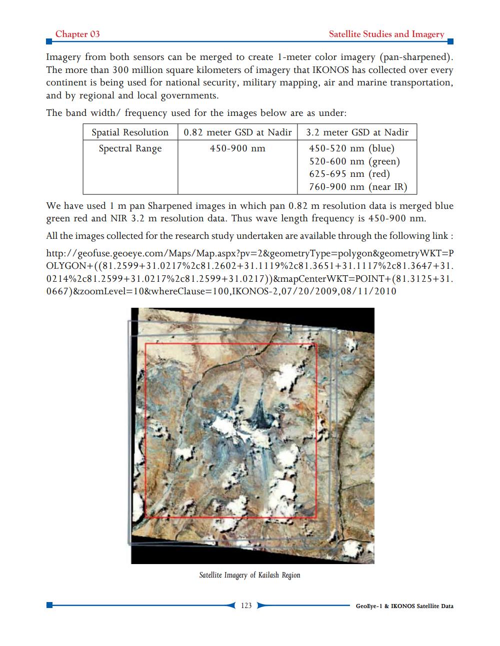
760-900 nm (near IR) We have used 1 m pan Sharpened images in which pan 0.82 m resolution data is merged blue green red and NIR 3.2 m resolution data. Thus wave length frequency is 450-900 nm. All the images collected for the research study undertaken are available through the following link : http://geofuse.geoeye.com/Maps/Map.aspx?pv=2&geometryType=polygon&geometry WKTOP OLYGON+((81.2599+31.0217%2c81.2602+31.1119%2c81.3651+31.1117%2c81.3647+31. 0214%2c81.2599+31.0217%2c81.2599+31.0217))&mapCenter WKT=POINT+(81.3125+31. 0667)&zoomLevel=10&whereClause=100,IKONOS-2,07/20/2009,08/11/2010
Satellite Imagery of Kailash Region
123
- GeoEye-1 & IKONOS Satellite Data